Subscriber question:
"I've used the glide ring on both ForeFlight and the Garmin GPS in my panel. They're great at first when I head for an airport or low terrain, but I have trouble knowing if I can make it or not in the last 1000 feet or so. The pretty displays aren't helpful anymore. Is there a visual technique for that last part?" — Dick F.
Not subscribed yet? Sign up here to receive tips like this every week.
Wally:
 “This is an important question and could be the difference between an incident and an accident.
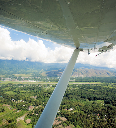
All aircraft have different glide ratios with the engine off, but a general rule is that you should be able to glide to anything within a 45-degree angle below the airplane. Some airplanes are better some are worse. Naturally, the wind will have a significant effect on your glide distance as well.
The first thing you need to do is configure and trim the aircraft at its best glide speed. Do you know what that means for the airplane you are flying? Now point the airplane at your intended landing area and while maintaining the proper speed, notice if the area is moving up or down in the windshield. If it is moving lower in the windshield, you should make it. If however it is moving up, you need to make alternate plans. Don’t wait until you are very low to give up on your field, make those plans early while you still have options.
Be careful about maintaining that best glide speed as there is a great tendency when the landing area begins to move up in the windshield to pull the nose up to try to make the picture look better. This only causes the airspeed to decrease and will actually shorten your glide.
My suggestion is to select a landing area that you can easily make and use the extra altitude to make a pattern around the field. Gliding straight-in to a far-off field can be tricky and rarely works.
My personal technique is to understand that my airplane will glide approximately 2 miles for every 1000 feet I am above the ground. So, if I am cruising at 7000 AGL, I can glide approximately 14 miles – plus or minus the wind. I keep my GPS moving map on the 35-mile scale so I am aware of airports within that range. If there are no airports on the screen, I realize that if I have an engine failure I will likely not land at an airport.
Even with all that good electronics, I still need to recognize what my intended landing area is doing in relation to the windshield and take action accordingly.”
Do you trust the glide ring on your EFB and/or GPS?