Subscriber question:
"Do you have any tips for navigating on the ground at unfamiliar airports? I find this very difficult, especially at larger airports." - Ed H.
Not subscribed yet? Sign up here to receive tips like this every week.
Tom:
 “Airports can be confusing places when viewed from ground level. Day or night, busy airport or lightly traveled, it’s vital to know where you’re going and how you’ll get there. Here are seven tips for navigating on the ground.
1. Study before you taxi. Before you get in the airplane, take a look at the airport diagram for your departure airport. Knowing the runway or runways in use, look at the most likely route from where you’ll start up to where you’ll run up and eventually where you’ll take off. If there’s more than one taxiway headed your way, ensure you know the alphabetical identifier of the one you’ll reach first, and which one comes next. Be especially careful to look at where you may have to cross runways, or at taxi intersections where it may be confusing. Many larger airports have these potentially unsafe or confusing areas identified as “hot spots” on the taxi diagram.
2. Study before you land. Similarly, before you ever get in the airplane to take off, make sure you have the taxi diagram for your arrival airport (and any alternates). Review the runway you expect to use based on your weather briefing, and look for routes from the various runway turn-offs to the FBO you’ll use. Don’t wait until you land to figure out where you’ll go to park. When you get ATIS or other landing information before descending to land, take another look at the airport diagram and re-familiarize yourself with your expected taxi route and taxiway identifiers.
3. Keep the diagram in your lap. Keep the taxi diagram you’re using in your lap while you taxi, so it’s readily available if you need it. If you have panel-mounted taxi charts, display the chart while you taxi.
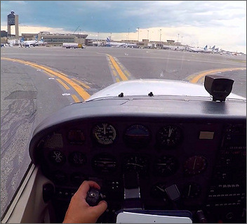
4. Use geo-referenced maps. If you have a GPS with taxi diagrams and a moving airplane symbol, use it during taxi. But remember that there are hazards your tablet or panel-mount won’t show, so keep your eyes outside the airplane for all but the shortest glances at the chart. Use a geo-referenced taxi diagram the same way you’d use a car’s GPS in heavy traffic—focus your attention outside, with only very quick scans at the map to double-check your position.
5. Use your pointers. If your airplane has an HSI, turn its pointer to the runway heading for the runway you’ll use. As you taxi out, this will tell you at a glance if you’re taxiing parallel to the runway you think you are. You can reset this as needed for takeoff once you reach the run-up area, which is usually at the end of the runway.
6. Ask for help. At tower-controlled airports, ground controllers are happy to provide progressive taxi instructions. This means they will watch your progress as you taxi, and advise you when to make turns onto different taxiways to the ramp or the runway. Use good form, however—ask for progressive taxi as a backup, but show up prepared. Don’t be clueless and ask the controllers to do your orientation for you.
7. If in doubt, stop. If at any time you have doubt about your location, where you’ll go next, or the route a controller expects you to take, stop immediately and radio for clarification. Admit you’re lost or confused, and you’ll get the help you need. The only exception to the stop now rule is if you find you have inadvertently taxied onto a runway. In that event, immediately taxi completely clear, then stop and call ground control.”
Do you use geo-referenced taxi diagrams for help navigating on the ground?
Geo-referenced taxi diagrams are displayed on a GPS navigator or electronic flight bag app, and show the layout of the airport (runways, taxiways, ramps, etc.) as well as your position.