Subscriber question:
"I know I must stay within the protected area of 1.3 miles (or more in some cases). But how am I supposed to know how far away I am while maneuvering for the runway in low visibility?" — Martin C.
Wally:
 “Since a circling approach almost always requires us to make a different pattern than we would if VFR, it can present a lot of risk. As you mentioned the lateral limits of protection are very small. This requires us to stay closer to the runway than normal and can easily result in overshooting the final. Additionally, we are usually below the normal 1000 foot traffic pattern, so the sight picture is quite different. Further, we may have never seen this airport or the surrounding terrain before.
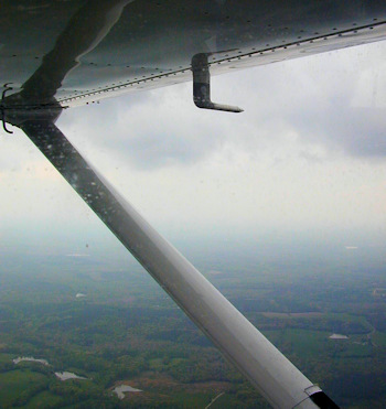
Ideally, we would like to stay as far out as possible while not exceeding our protected airspace. For category A aircraft, the limit is 1.3 nautical miles. To help me judge this distance I like to use the runway as a ruler. I check the runway length as published and since I know a nautical mile is about 6000 feet, I now have sort of a ruler right in front of me as I approach the airport. I mentally move the approach end of the runway ninety degrees out towards the base leg turn and then pick a landmark there that I intend to fly over. It’s nice if the runway happens to be 6000 feet long but no problem if it’s not. You just need to add a little for a 5000-foot runway or add ½ if it’s a 4000-foot runway.
Having picked a spot to fly over to be in a good position for the base leg has lots of advantages. First, you can be looking forward rather than sideways watching the runway. Looking forward allows you to maintain aircraft control much better and to see obstacles. Second, you will be able to see any wind drift and correct for it so as to be in the correct place to turn base leg. Lastly, you don’t have to worry about going beyond the obstacle protection area.
Circling approaches can be done safely but they require more planning and skill. Using the runway as your ruler will help solve some of the problems.”
Learn more about circle-to-land approaches from the IFR Procedures manual by PilotWorkshops.
How do you use your GPS moving map to track your position when circling to land in low visibility?